Effective Tips for Mastering Topography and Landscape in Revit
Engineers, architects and other construction professionals use the Revit software, which enables those design professionals to create, edit and review the design models with the help of its design and documentation tools.

With the help of the Revit software, the design professionals are able to create Topography and Landscape designs more easily. Here are several tips to master the landscape and topography in Revit software by the design professionals:
Using floors
The Toposurface tool of the Revit software enables users to create simple sites for the design. Though the Toposurface tool can be problematic for users. In this regard, the design professionals can use the floors, which enable the users to model curbs and can also place several site elements into the designs.
Setting the site floor functions
The user has to make sure that the floor function has been set to the Exterior, which helps to ensure the filter and control the visibility of the site floors.
Creating simple slopes
With the help of the floors, users can create simple slopes in the design. In this context, the users have to fuse the arrow, in which they have to set the slope angle. In the next step, the users have to adjust the height of the points manually. Thus, the users are able to create hardscape, which can be a slightly sloped driveway.
Using Toposurface
The Toposurface tool of the Revit software has the ability to model the toposurface design.
Adjusting visual settings and topography increments
The user has to go to the Massing & Site tab of the Revit software and click on the arrow. The thick line has been used to display the primary contours, whereas the thin line style has been used to display the secondary contours.
Creates Topo from the linked CAD files
The users are able to link a CAD file along with the topography lines. In this context, the users have to use the “Create from Import” tool during the creation of the toposurface, then they have to choose the CAD file and also has to choose the layer that they want to use in the design.
Using the Graded Region tool
The main toposurface design can be set with the help of the Graded Region tool of the Revit software. In this context, the user has to click on the Graded Region from the Massing & Site tab. In the next step, the user has to choose the toposurface, and the topo point’s height can be modified as per the design requirements.
Using Railings
Users are able to create a new rail profile family. The users are also able to modify the height of the railings by using this feature.
Creates sloped curved walls
With the help of the Edit Profile tool of the Revit software, users are able to create a sloped straight wall. The Model In-Place tool helps to design the Void Swept Blend.
Shaping floors
The shape floor tool of the Revit software enables users to shape a flat floor on the basis of the shape of the toposurface. In this context, the user has to choose the tool, select the toposurface and also has to select the floor to shape the flat floor.
Adding Topo Model Lines Contour
In the previous tips for creating floors, there are no contour lines. In this context, the environment plugin plays a crucial role in adding contour lines in the design. The environment plugin of the Revit software consists of the Floor Contours tools. In the Floor Contours tools, the users have to select the floor and click on the tool. After that, the users are asked about the types of the model line and also asked to set the increment that they want to be used in the design. The contour lines can also be updated or deleted by the users by using the dropdown menu of the Floor Contours tools as per design requirements.
Setting elevations to the model lines
The environment tool of the Revit software enables users can draw a bunch of model lines. With the help of the Set Elevation tool, the users are able to set the reference level, increment and start elevation.
To get online demonstration, watch the following video tutorial.
Video Source: Arch-intelligence
Download Landscape Modeling with Revit
Creating surfaces from the model lines
After creating the model lines, the Create Surface tool can be used to set the heights of the model lines. In this regard, the users have to select the model lines that they want to use in the design. This feature helps to generate the toposurface automatically. In this context, there is no requirement for the CAD files.

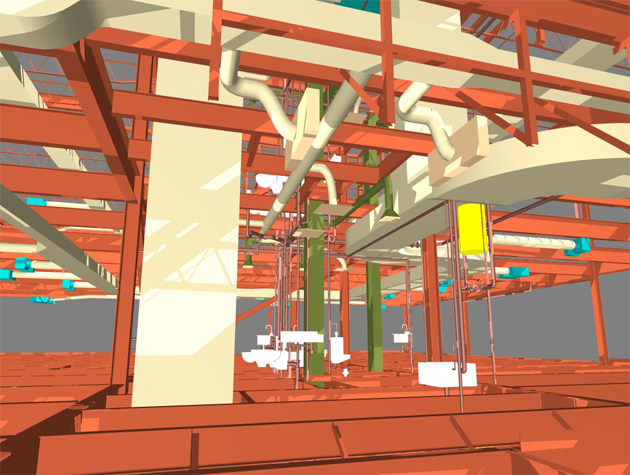
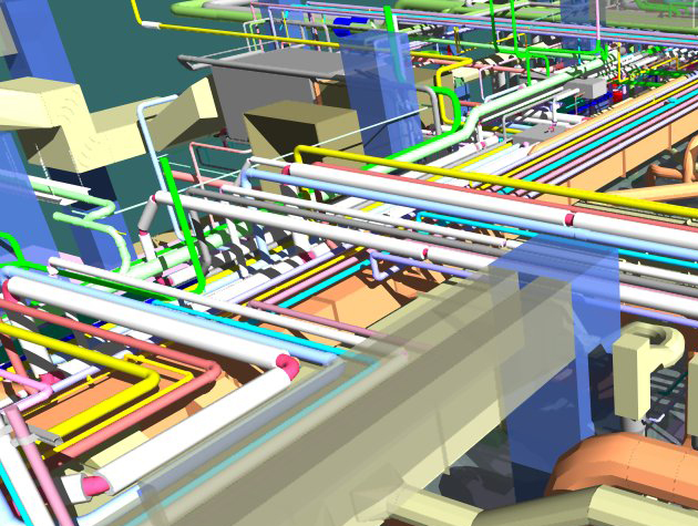
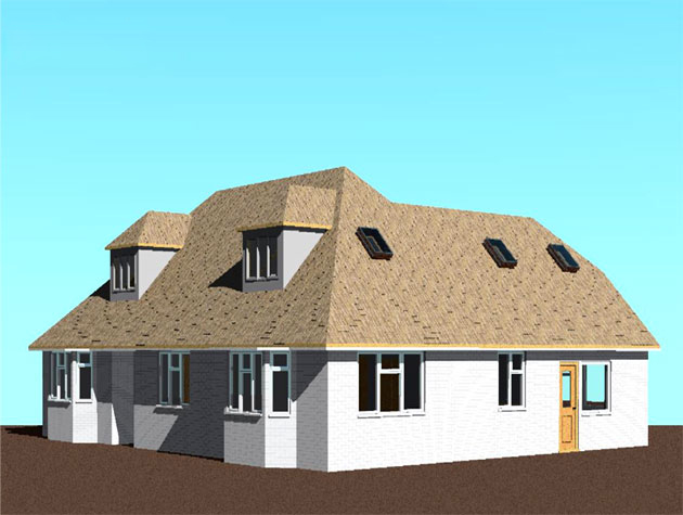
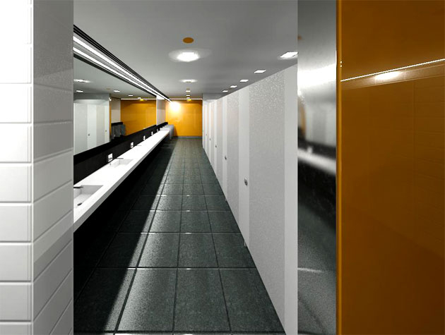
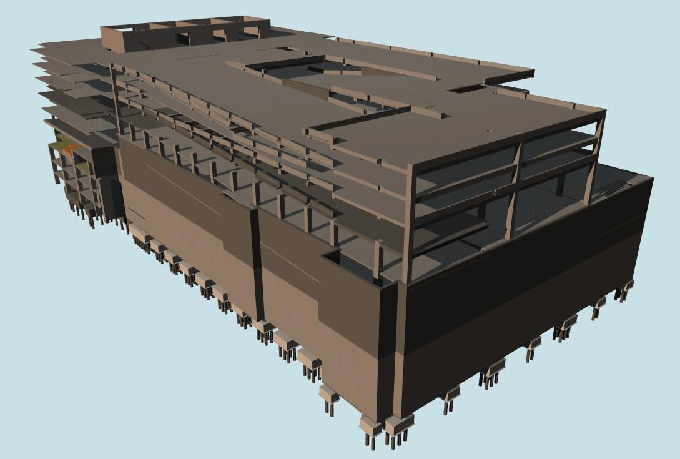
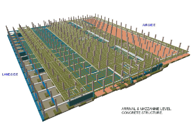
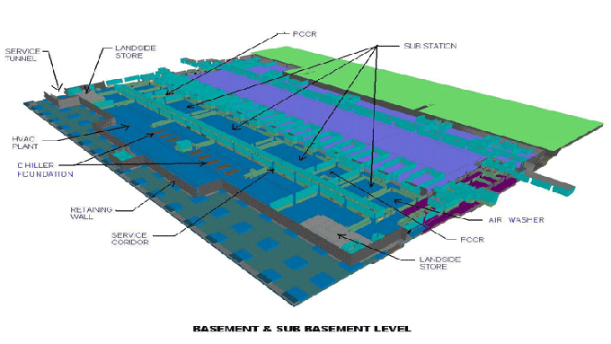
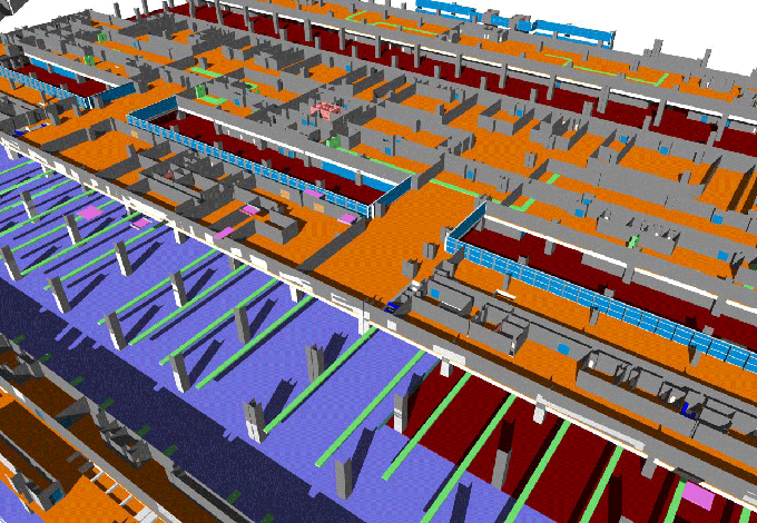
Gallery
Feel free to contact us for BIM requirements. One of our representative will respond you within 24 Hours. Send us your projects requirement today and grow your project.
Explore More !