Integrating Geographic Information System (GIS) in Building Information Modeling (BIM)
Technologies have made enormous advancements in the construction industry due to advancements in the field of information technology. BIM, which widely uses in the industry, aims to manage construction projects and improve planning and design efficiency.
Managing construction projects with GIS (Geographic Information System) has immense potential. Many construction projects use BIM technology for this reason.
The Geographic Information System (GIS) combines information on location and theme into one environment. All phases of construction, including data management, information integration, estimation of costs, etc., can be clarified by this technology. As a result, decision-making becomes more effective as well as the coordination among planners, designers, and contractors improve.
Design & Planning Phases of GIS
During the planning and design phases of the construction industry, there are a large number of charts, graphs, and tables that store data. This data can sort with GIS to help the industry. Associated parties will be able to access the data at any time due to the system's rapid retrieval mechanism.
The concept of BIM refers to the process of combining all the building components into a single management database so that all participants in a project can understand the entire life cycle from a single perspective. Also, it analyzes comprehensively the financial and environmental costs associated with a construction project.
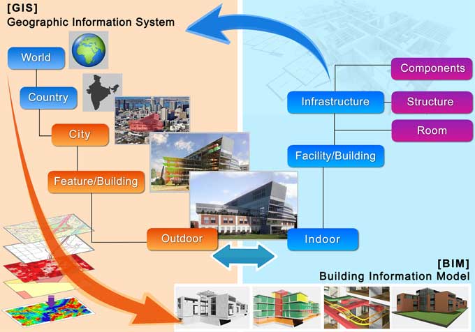
The next step is to see how BIM can improve through GIS. All the data can store in one place and group based on common geography with the help of GIS. Additionally, GIS is an important aspect of BIM because it allows for a project to be assessed at any scale.
The facility managers, contractors, and other stakeholders can interact with GIS at any scale so they can get a common understanding of carbon footprints, life cycle costs, etc.
Efficient Design for Long Term
In this smart and innovative industrialized construction process, BIM and GIS add a whole new spatial element that increases the efficiency of the entire design and construction process.
Businesses that provide geospatial services use geospatial information systems and BIM modeling to ensure comprehensive design, reducing effort, time, and resource costs in operational and construction processes.
Any design or construction project can benefit by integrating and synthesizing these advanced technologies. As a direct consequence of the integration, digital work can retrieve, store, index, and record vital data. A project can support and ensure success with the necessary information.
Post Construction
Geospatial services, BIM modeling, and geographic information systems have a place pre-construction as well as post-construction. A BIM model with flexible GIS ensures that facilities management receives every piece of information needed.
As well as the clients, the integration is very useful. BIM solutions with integrated GIS can retrieve and reuse crucial data throughout the structure's life cycle.
Benefits of GIS in BIM
GIS has several benefits in BIM. The ability to analyze the spatial aspects of their designs in the conceptual stage is one of the main capabilities of GIS.
The system visualizes and analyzes the natural and built environments, including their impacts on infrastructure systems like transportation, land use, water resources, and human life. Construction and emergencies, for example, can forecast using GIS. BIM benefits from GIS by enhancing information sharing. The standardization of data and processes allows the various departments and organizations to communicate more effectively.
To get online demonstration, watch the following video tutorial.
Video Source: Esri Ireland
Wrapping it Up
GIS integration has become essential in infrastructure design and construction to build smart cities. Companies in the geospatial industry must learn to make decisions, plan, and do everything else more intelligently than they ever have before.
Connecting and integrating BIM with GIS is the most effective way to do this. The future depends on such integrated systems. Smart cities are part of this evolution, which may include autonomous vehicles as well as entire smart cities.
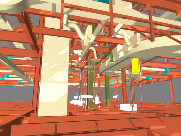
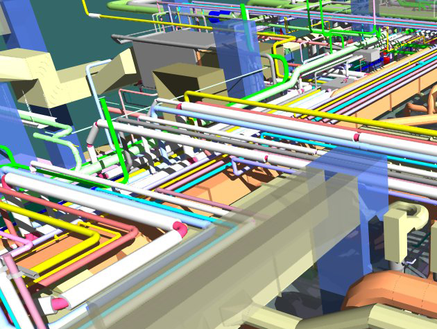
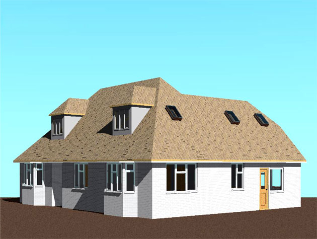
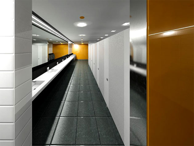
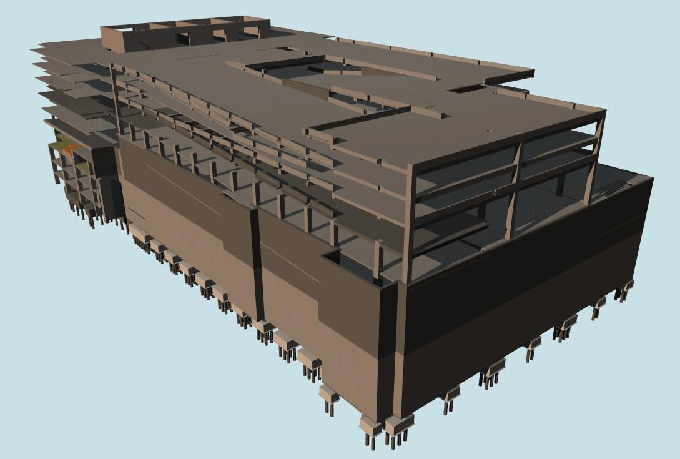
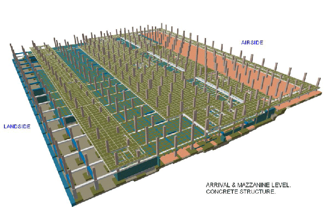
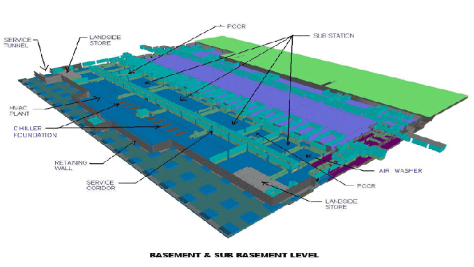
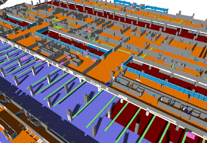
Gallery
Feel free to contact us for BIM requirements. One of our representative will respond you within 24 Hours. Send us your projects requirement today and grow your project.
Explore More !