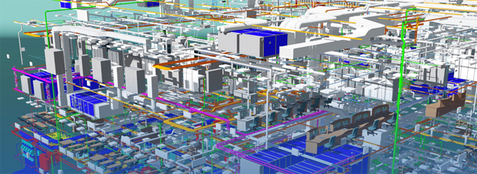
BIM Services and LiDAR : A Perfect Combination for Quality Construction
Concept about the LiDAR for Building Information Management
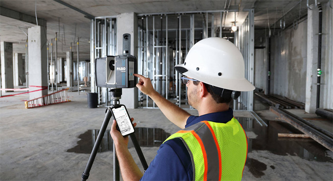
The LiDAR technology is a remote sensing technology which enables the use of laser pulses. This feature helps to measure the distances between a sensor and the design surface. The LiDAR technology helps to generate more precise three-dimensional information about the design environment. The LiDAR technology has been used in everything from autonomous vehicles to coastal monitoring.
The LiDAR device comprises a pulsed laser, a GPS receiver, and a scanner. The modern LiDAR sensors help to connect the data swiftly at high resolutions. The LiDAR device has been used in different applications, including autonomous vehicles, shoreline mapping, obstacle detection, storm surge modelling, and others.
Understanding the different types of LiDAR systems
Topographic LiDAR system
The Topographic LiDAR system has been used as an infrared laser to survey terrain and infrastructure.
Bathymetric LiDAR system
The Bathymetric LiDAR system has been used as the water-penetrating green light, which helps to study submerged ecosystems. This LiDAR system can also be used to draw accurate shoreline maps, and also helps to perform the hydrodynamic modelling and navigation.
Discuss the different types of LiDAR Sensor Types
Flash LiDAR sensor
The Flash LiDAR sensor helps to scan a whole scene in a single flash. The Flash LiDAR sensor has the ability to capture a huge chunk of data in a short period, making it ideal for use in autonomous vehicles, robotics, and environmental monitoring processes. The Flash LiDAR sensor might be costly, and it has been suited for specialised applications.
Full waveform LiDAR
The full-waveform LiDAR has been known for its higher design accuracy in complex design targets. In this case, the LiDAR technology has been associated with low noise and helps to record the entire returned signal.
LiDAR altimeters
The LiDAR altimeters have been used for safe operations and science activities. These LiDAR sensors gauge the distance between the spacecraft and the target.
Discuss the key benefits of LiDAR in the design and construction industry
Easily access data
The LiDAR technology enables the project stakeholders to access the data from any geographic location, along with the Building Information Modelling (BIM) technology. The integration with the BIM technology enables the design professionals to conduct accurate analysis, and thus, the design professionals can suggest amendments at a lower cost.
Accurately analysing data
The LiDAR technology acts as a 3D scanning technology, which can compile data in a 3D format that is easily understandable by all stakeholders. The data output achieved by the LiDAR technology is more precise than any other manual or hand-measuring methods.
Conducting more precise measurements
The integration feature of the LiDAR technology helps to provide a proper system, which helps to eliminate human and measurement errors by more than 90%.
3D model visualisation feature
The LiDAR technology offers digital 3D representations of the project, which helps to provide for in-depth analysis. The LiDAR scanners help to capture space from all possible perspectives. The collected data by the LiDAR technology helps to contractors ascertain that their design will meet the local building codes and safety regulations.
Learn about the applications of LiDAR for improving the BIM infrastructure
Managing roadway assets
The LiDAR technology enables the detailed mapping of roadway conditions and the associated infrastructure, for example, poles, signs, and guardrails. The FusionMap’s Asset Analyser of the LiDAR technology helps to detect the design assets automatically and geotagged with condition metadata.
Involved in urban planning
The LiDAR technology-derived 3D design models have been used by the city planners for infrastructure planning and an accurate simulation process. The FusionMap feature of the LiDAR technology helps to integrate these 3D design models along with premium geospatial layers for the richest context.
To get online demonstration, watch the following video tutorial.
Video Source: AMC Bridge, Inc.
Involved in bridge structure inspection
With the help of the Facade AI feature of the LiDAR technology, the design professionals can early detect cracks, corrosion, or any kind of deformation. This feature can also visualise the defects directly on the 3D design models, which helps to prioritise the repairs and can also track design changes over time.
Monitoring construction progress
The LiDAR technology enables the project team members to measure progress against the design plans. The split view feature of the LiDAR technology helps to reveal the subtle differences and enable early intervention in the case of any kind of esign issues.
Involved in floor and disaster management
The high-resolution terrain model of the LiDAR technology is invaluable to identify the flood-prone areas, helps to plan evacuation routes, and also helps to model the landslide risks. The FusionMap’s Split View feature of the LiDAR technology enables the design professionals to compare the pre- and post-event datasets instantly.
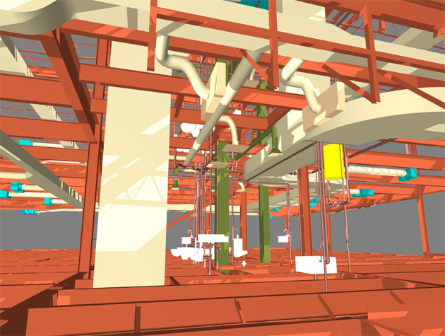
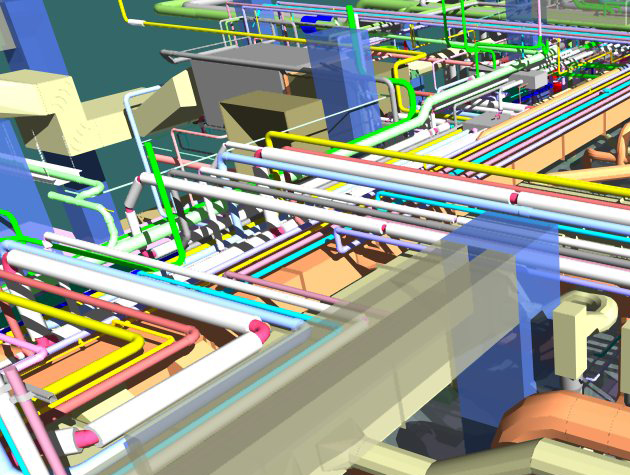
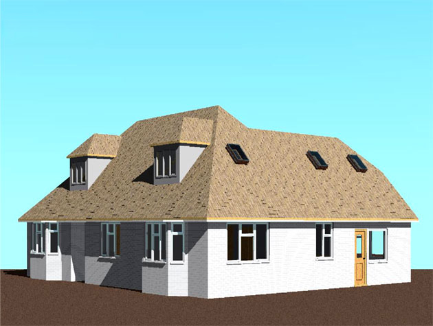
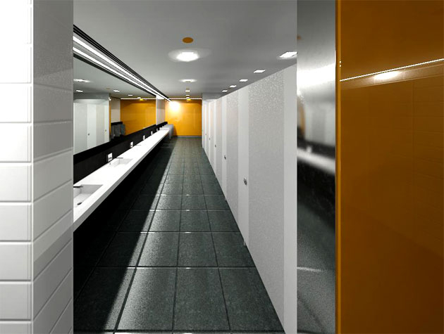
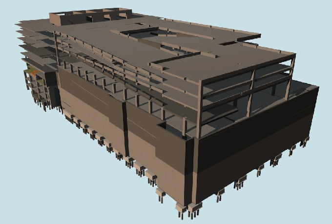
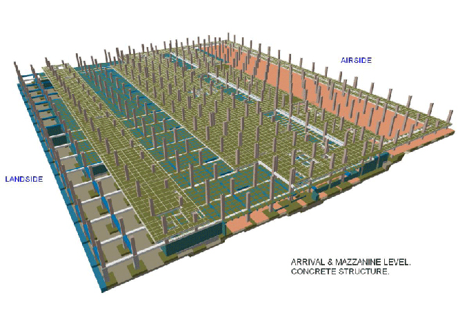
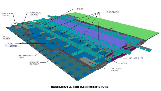
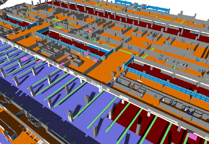
Gallery
Feel free to contact us for BIM requirements. One of our representative will respond you within 24 Hours. Send us your projects requirement today and grow your project.
Explore More !