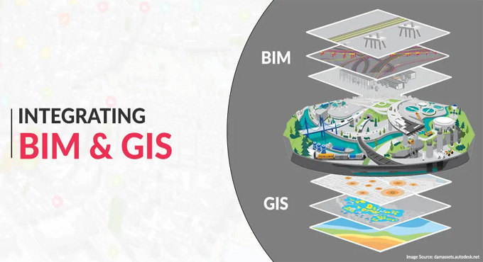
BIM and GIS Integration: Process, Applications and Benefits
Building Information Modelling (BIM) technology helps to provide an integrated database for the building and infrastructure assets, which consists of a 3D presentation of the physical and functional characteristics, as well as the geometrical data of the associated design assets. The BIM technology has been acting as the source of information, which helps to support the document management process, team collaboration process, trade coordination process and 4D construction sequencing process. In addition, the BIM technology also helps in the decision-making process throughout the lifecycle of the design project.
Example of BIM tools
Autodesk Civil 3D
Autodesk Civil 3D acts as the fundamental tool for infrastructure design and civil engineering projects. The Autodesk Civil 3D tool allows the generation of intelligent 3D design models by using its dynamic engineering data.
This feature enables the precision and customizability of civil construction projects. This BIM tool can also excel in working with the terrain modelling and infrastructure design process during the maintenance of the geospatial accuracy.
Navisworks
Navisworks is another excellent BIM tool, which allows for the construction and design data to be combined into a single model, thus helping to improve the cooperation and interoperability among designs. This BIM tool also has the clash detection ability and offers 4D/5D simulation features without disrupting any geographic coordinates, which has become one of its biggest advantages in the BIM and GIS integration process.
Concept about GIS technology
The GIS technology influences the successful achievement of the 2D and 3D representations of geospatial shapes. This technology helps to provide information about natural and built environmental assets, which considers demography, geography, social economy and environment. The GIS system helps to collect, create, integrate, analyse, manage, and also visualise the spatial data by using maps. The GIS technology also helps users to understand the design patterns, spatial relations, and geographic context, which helps to make efficient decisions regarding the operation and maintenance of those assets.
Example of GIS tools
ArcGIS CityEngine
The ArcGIS CityEngine is one of the most specialised solutions, which focuses on the 3D urban environment planning and modelling tasks. The gap between the GIS and BIM solutions has been bridged by the detailed 3D city design mode generation feature of the ArcGIS CityEngine tool. So, the ArcGIS CityEngine has become more popular in the smart city initiatives and also in the urban development projects.
ArcGIS
ArcGIS is another GIS tool which helps to provide a comprehensive platform to manage spatial data. The ArcGIS tool helps to offer robust integration capabilities for BIM data. This GIS tool acts as an invaluable solution for urban planning and infrastructure development because of its ability to analyse the spatial relationships among the BIM design models and their surrounding environments.
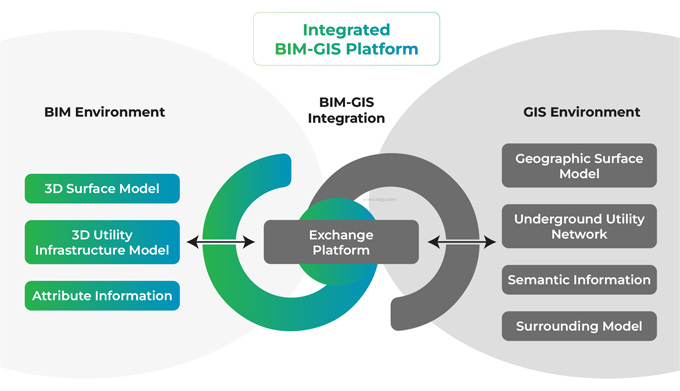
Discuss the integration platform for BIM and GIS
Revizto
Revizto is a powerful collaboration platform which can handle GIS and BIM data easily. This integration platform has the ability to facilitate communication between the project stakeholders while maintaining the integrity of all project data.
Feature Manipulation Engine (FME)
The Feature Manipulation Engine (FME) plays an important role in the integration process between the BIM and GIS environments. The Feature Manipulation Engine (FME) also helps to maintain data integrity across different environment types.
Bentley OpenCities Map
Bentley OpenCities Map tool is a combination of BIM, CAD and GIS software, which is useful in infrastructure projects that rely on the geospatial context. The Bentley OpenCities Map has the ability to maintain the spatial relationships and engineering precision of the information during the maintenance of the 2D and 3D data in the same design environment.
Understanding the benefits of the GIS and BIM integration in the design industry
➢ The BIM and GIS data integration feature helps to maximise the returns from the existing investment in the BIM and GIS software.
➢ The GIS and BIM integration process also helps to understand the highly detailed geospatial context of the design.
To get online demonstration, watch the following video tutorial.
Video Source: Tejjy Inc.
➢ The BIM and GIS data integration process also helps to enable the collaborative design workflow, which helps to reuse the data for all parties who are involved in the design process.
➢ The BIM and GIS data integration process allows the engineers, architects, and GIS team members to work together on the connected workflows.
➢ With the help of the BIM and GIS data integration process, the architects and engineers can design smarter building infrastructure.
➢ The GIs and BIM integration process also helps to connect the existing systems of record, which helps to reduce the costly errors and delays in critical design decisions.
➢ The GIS and BIM integration also helps to make better-informed decisions to accelerate the project delivery.
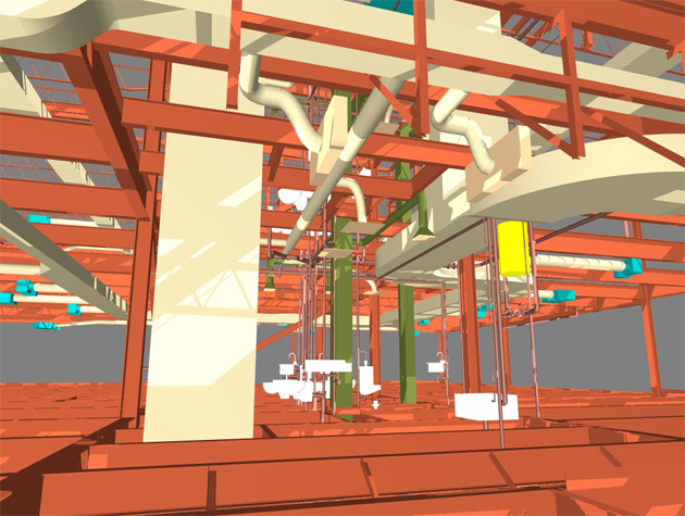
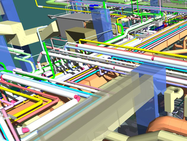
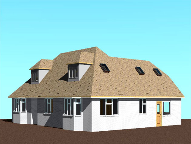
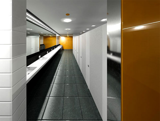
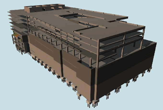
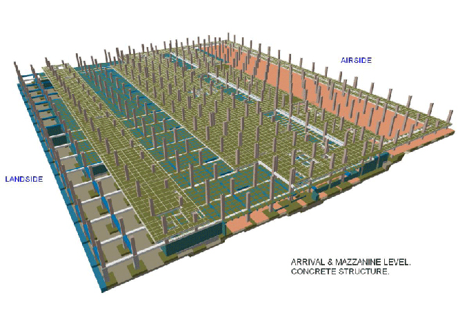
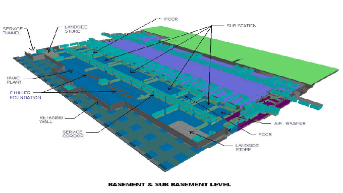
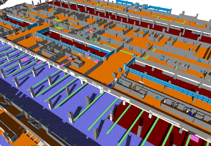
Gallery
Feel free to contact us for BIM requirements. One of our representative will respond you within 24 Hours. Send us your projects requirement today and grow your project.
Explore More !