Modeling From Laser Scan To Revit With Infipoints
Elysium has developed a very good functionality into Autodesk Revit to model piping and structures from the 3D based laser scanned point clouds.
Advantages of InfiPoints
1. InfiPoints allows Revit users to create models in very short time.
2. Users don't have to create models of available facilities from scratch.
3. Users can easily import CAD data from point cloud data with InfiPoints into Revit for adding finishing touches.
4. Users are also able to add standard pipe specification in InfiPoints.
Service providers begin the 3D based laser scanner for capturing the on-site environment more perfectly and efficiently. Direct modeling from environment without the right point cloud software can take a lot of time and man power. InfiPoints are also able to extract pipes and planes from point cloud data and it is captured from 3D laser scanner. Users are also able to make CAD models with a simple click.
InfiPoints is a cloud utilization software which go beyond the 3D visualization of laser scanned 3D point cloud data. It can complete the entire workflow in 5 steps. The steps are data importing, data preprocessing, 3D based analysis etc.
Data importing
At first users have to capture the environment through 3D laser scanner. After that they have to import the point cloud data into the software. This software is able to import hundreds of scans, billion points, and also support different scan data formats from .e57, .fls, .zfs, .ptx.
Pre-process the data
Now users have to register the scanned data. This software supports marker and marker less registration to process smoothly for visualizing multiple scans. This software also has capacity to reduce noise for removing floating noise and overlapping noise from different captured views on the same object and reflections.
3D based analysis
Users have to utilize and analyze the point cloud data which is captured for engineering. This software is also able to measure, validate, and detect the erosion within 3d based environment. The extraction process of planes and cylinders activate a specific measurement within the point cloud world. InfiPoints gives almost perfect measurements by utilizing the center lines of pipes and extracted planes.
Users can import CAD or BIM for validation between the point clouds and models. They also see the deviations with a color map. This software can detect the erosion and analysis the data. It also shows the best movements of equipment in and out of an area. Users also create paths for equipments for showing the best route.
3D based modeling
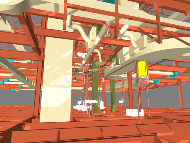
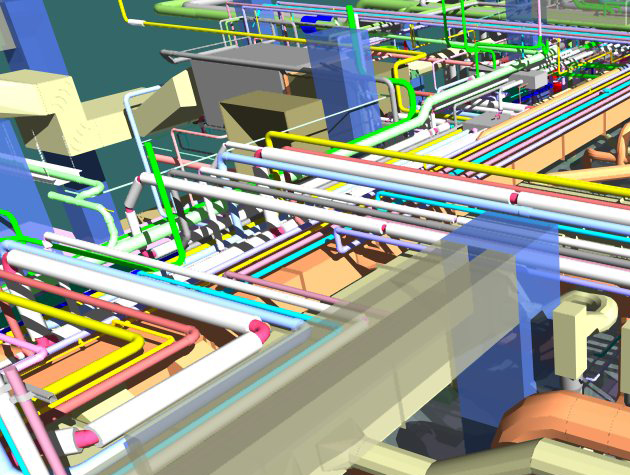
InfiPoints has dynamic modeling capacity for extracting features, like pipes, ducts, steel structures and streamline the conversion to 3D CAD and BIM models. This software is also able to go quickly from point cloud to BIM to fulfill the need of users. This capability of the software is widely used in MEP and also plant engineering industries for cases like piping construction and equipment maintenance simulation.
Output creation
Sharing Point Cloud Data has the ability to share the information. It is the critical aspects of 3D scanned data. It has various output formats for different types of uses and needs. Users can use the InfiPoints Revit Plugin to output directly to Revit. It also able to export neutral CAD file, like IGES, STEP, Parasolid, native CAD format to be used in SOLIDWORKS, siemens NX, CATLA and Autodesk Inventor, PTC creo.
This software is also able to export a standalone viewer file that gives more functionality for measuring and analyzing the point cloud data and users don't need to download software.
MEP and plant maintenance
InfiPoints is a powerful tool which is used in retrofitting maintenance in areas where many pipes and industrial equipment runs. It automatically extracts pipes and planes from point cloud and connect it with CAD and BIM which has helped the industries by utilizing point cloud data. MEP and plant maintenance save precious time of the users.
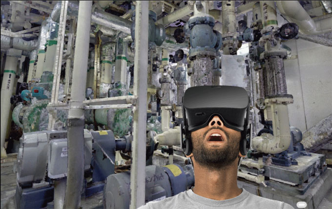
Point cloud is very important for visualization. This software is able to pre-process and prepare the point clouds to view either in a computer screen or with the VR from various heritage sites, museums, and disaster aftermaths.
If viewers like this article please share your valuable opinion with us. Readers can write down their opinions in the comment section below the article.
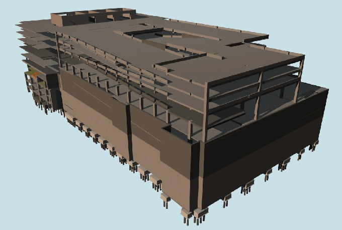
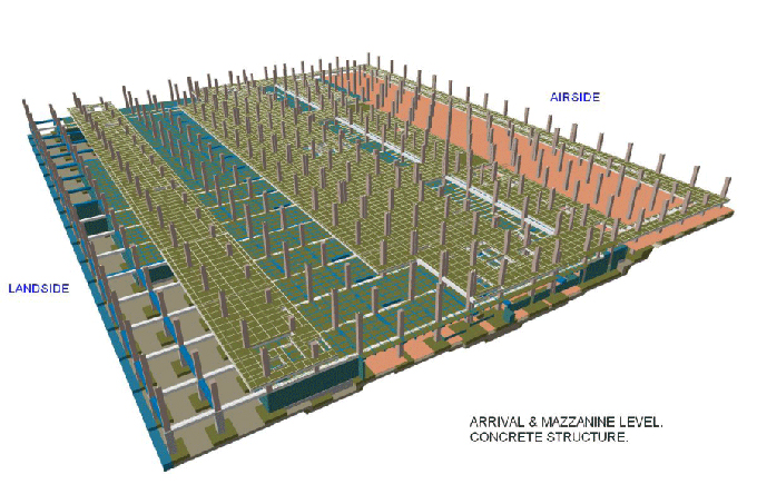
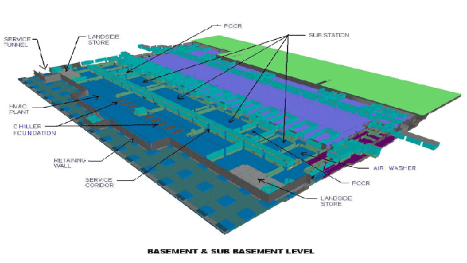
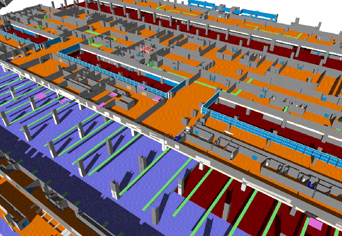
Gallery
Feel free to contact us for BIM requirements. One of our representative will respond you within 24 Hours. Send us your projects requirement today and grow your project.
Explore More !