
Series of elevation design in AutoCAD
The elevation of a geographic location belongs to its height over or underneath a fixed reference point, generally a reference geoid, a mathematical model of the Earth�s sea level similar to equipotential gravitational surface.
Elevation, or geometric height, is primarily applied while referring to points on the Earth�s surface, whereas altitude or geopotential height is applied for points over the surface, like an aircraft in flight or a spacecraft in orbit, and depth is applied for points underneath the surface.
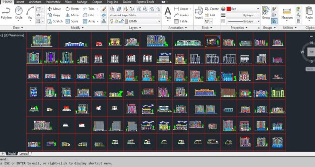
Image Courtesy: onlinecivilforum.com